For lands of Cáceres

We start on this route from the city of Cáceres, we arrive and park in the Motorhome Area. Coordinates N39.480549 — W 6.366637.
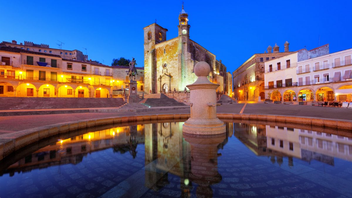
In Cáceres we can see its Historic Center, its Palaces and its Monuments, with churches and stately homes, without neglecting its Modern Center with pedestrian streets and lots of shops.
Following the route towards Coria, we take the detour passing the Tagus river marshes. We parked in Coria, on the Paseo de la Isla. Coordinates N 39.978749 — W 6.535875.
It is very close to the Historic Center and the Cathedral, you just have to pass the Medieval Bridge. We can also visit the Duque de Alba Palace and the Cathedral. From there, on the way to Perales del Puerto, all the roads are narrow and sometimes mountainous. We arrive at Robledillo de Gata, a typical town of Sierra de Gata with stone streets. There we can visit a
Mill and the Oil Museum. Park at coordinates N 40.322424 — W 6.473416.
We pass Pinofranqueado and Camino Morisco to reach Granadilla, a town that is under restoration. We park on the plain of the Castle, which can be visited, coordinates N 40.269315 — W 6.105383. This town was abandoned to build a swamp and is now going back to what it was.
We continue towards Rio Malo de Abajo and we stop in Miranda del Castañar, already in the province of Salamanca. We parked in the town square, coordinates N 40.484373 — W 5.998793. This town is also characteristic for its cobbled streets and typical houses of the area. Following the route we arrive at Mogarraz. It is advisable to park on the road before entering the town, since its streets are narrow, with the houses very close together. The whole town is full of large photographs on the facades of the houses, reminding its inhabitants of yesterday.
We continue towards La Alberca, arriving by a winding road and parked in the Motorhome Area. Coordinates N 40.488363 — W 6.115762.
It is a charming town with quite beautiful cobbled streets. If we have time and the weather permits, we can climb the Peña de Francia and from there enjoy magnificent views of the entire mountain range. Other places that can be visited, if we have time, is Candelario. We cross the highway and near Béjar we take the detour to this place. Park at coordinates N 40.369133 — W 5.744629.
Here we can also visit many things, it is a charming place where you can eat in any of the bars or restaurants in the area. We can finish in Hervás, returning to Extremadura, a beautiful town, with its square, Church, Jewish Quarter … Park at coordinates N 40.272232 — W 5.862537.
We recommend eating at the restaurant “La Vaca Brava”. We can go down through Plasencia-Cáceres.
